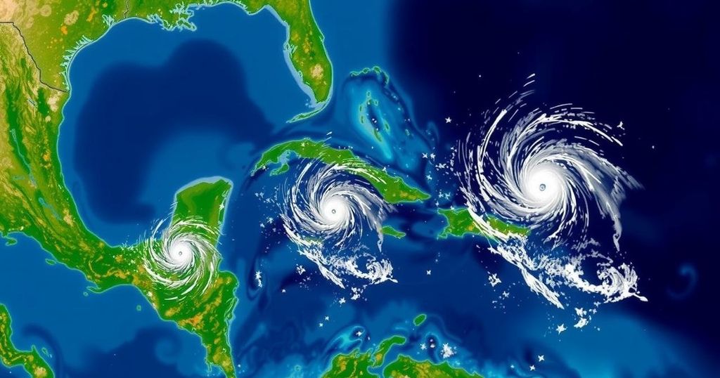
The National Hurricane Center is monitoring three tropical systems: one in the Southwestern Caribbean showing a 60% chance of development, a trough near Puerto Rico with a 10% likelihood, and a non-tropical low in the North Atlantic at a 20% chance. Heavy rains are predicted across the affected areas, particularly in Central America and parts of the Caribbean.
As of Thursday afternoon, the National Hurricane Center is actively monitoring three tropical systems across the Atlantic Ocean and Caribbean. The foremost system, located in the Southwestern Caribbean Sea, is exhibiting indicators of potential development. A broad area of low pressure is anticipated to form in the southwestern Caribbean over the upcoming days, with the likelihood of a tropical depression emerging by the weekend or early next week. This system is expected to generally drift northward or northwestward over the central or western Caribbean Sea. Regardless of official development, heavy rainfall is projected in areas from Nicaragua towards northern Colombia. As of the latest update, the probability of formation stands at 60% over the next seven days, a significant increase from the previous 40% reported on Wednesday. The National Weather Service in Jacksonville emphasizes the historical nature of threats emerging from the Northwest Caribbean Sea or the Southeast Gulf of Mexico during this period. Statistically, storms originating in these regions often traverse South Florida or Cuba en route to the Bahamas, as exemplified by Storm Michelle in 2001, although exceptions such as Storm Kate in 1985 and Storm Nicole in 2022 also exist. The other two monitored areas include a trough of low pressure situated near Puerto Rico. This trough is generating extensive cloudiness and rain over Puerto Rico, the Dominican Republic, the Virgin Islands, the northern Leeward Islands, and adjacent Atlantic waters. Slow developmental prospects exist as the system moves west-northwestward near the Greater Antilles, with 10% chance of formation over the next 2-7 days. Regardless of development, significant rainfall risks persist across these regions. Lastly, a storm-force non-tropical low pressure area has emerged in the North Atlantic, approximately 550 miles west of the western Azores. Although showers and thunderstorms are present near the center of this system, any further development into a subtropical or tropical cyclone is projected to occur slowly as it progresses eastwards. Presently, this system has a 20% chance of formation in the coming week. The next designated tropical cyclone will be Patricia.
The National Hurricane Center plays a vital role in monitoring meteorological events that may lead to severe weather, particularly during hurricane season. Between June and November, the Atlantic basin is subject to various tropical disturbances, which can escalate into hurricanes or tropical storms. Understanding the development and trajectory of these systems is crucial for regional preparedness and response. As of Thursday afternoon, three systems have been identified for close observation, indicating a heightened level of vigilance among meteorological agencies and responding organizations.
In summary, the National Hurricane Center has identified three critical areas of interest within the Atlantic and Caribbean regions, with varying probabilities of development. The Southwestern Caribbean Sea system exhibits the highest likelihood of formation, while other monitored systems present lower probabilities yet still pose concerns for substantial rain. Historical patterns serve as a reminder of the complexity and unpredictability of such systems, underscoring the importance of continued vigilance during this precarious season.
Original Source: www.news4jax.com