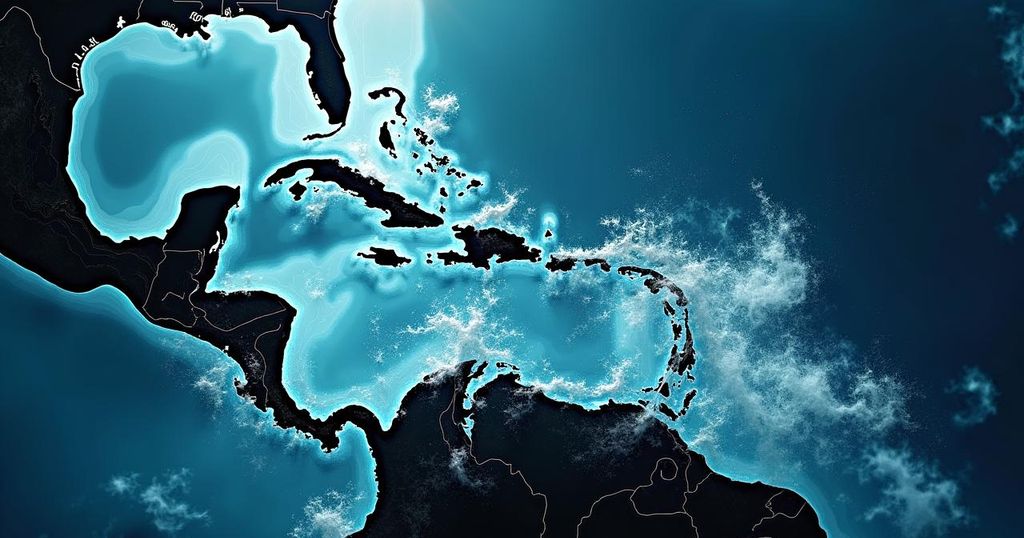
The National Hurricane Center is tracking Tropical Storm Joyce, Hurricane Isaac, and a potential storm in the Caribbean following the aftermath of Hurricane Helene. Joyce is expected to weaken, while Isaac will likely become a post-tropical cyclone. A new low pressure area could develop into Tropical Storm Kirk next week, increasing storm activity in the region.
The National Hurricane Center is currently monitoring several weather systems in the Atlantic, including Tropical Storm Joyce and Hurricane Isaac, while also assessing a potential new storm forming in the Caribbean. Following the devastating impacts of Hurricane Helene, which has resulted in at least 43 fatalities and extensive property damage, recovery efforts in the Southeast continue. Helene, now diminished to a post-tropical cyclone, is moving through parts of the central United States, bringing rain and wind to regions such as Kentucky, Tennessee, and later, Pennsylvania and Virginia, before dissipating into the Atlantic by Tuesday. Tropical Storm Joyce, which emerged on Friday in the central Atlantic, is located approximately 1,120 miles east of the Northern Leeward Islands. Currently exhibiting maximum sustained winds of nearly 50 mph, Joyce has tropical storm-force winds extending up to 105 miles from its center. However, forecasts indicate that Joyce is likely to weaken as it shifts northwards, with expectations of devolving into a remnant low pressure system by early Tuesday, posing no significant threat to land. Hurricane Isaac is situated approximately 695 miles west-northwest of the Azores, maintaining its status as a Category 2 hurricane with sustained winds near 105 mph. The storm is progressing east-northeast at 20 mph and is anticipated to transition into a post-tropical cyclone by Monday. Neither Hurricane Isaac nor Tropical Storm Joyce poses a threat to the continental United States at this time. Additionally, a new area of low pressure is anticipated to develop in the western Caribbean Sea by mid-next week. The National Hurricane Center indicates that the environmental conditions are favorable for further development, with a 40% chance of forming into a tropical depression as it moves towards the Gulf of Mexico. Should it intensify and receive a name, it would likely be designated as Tropical Storm Kirk. Another system is expected to form in the eastern and central tropical Atlantic, currently showing a 60% chance of development as it traverses westward in the Atlantic.
The Atlantic hurricane season poses a recurring risk to various coastal regions in the United States and surrounding areas. Storms can develop rapidly, requiring constant monitoring and timely responses from meteorological organizations such as the National Hurricane Center (NHC). Since the commencement of the 2023 hurricane season, several named storms have emerged, impacting communities through heavy rainfall, strong winds, and resultant flooding. Preparation and awareness are vital for residents in at-risk areas, particularly following the destruction wrought by major hurricanes like Helene.
In summary, the National Hurricane Center is closely observing Tropical Storm Joyce, Hurricane Isaac, and a potential new storm in the Caribbean. While Joyce is projected to weaken and pose no threat to land, Hurricane Isaac continues to progress safely in the Atlantic. Increased vigilance is warranted as meteorologists predict the formation of additional storm systems in the coming week, highlighting the need for ongoing preparedness amid the Atlantic hurricane season.
Original Source: www.usatoday.com


