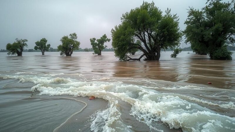
Satellite data from March 4, 2025, reveals that approximately 7 km² in Gaborone, South East, and Kgatleng Districts, Botswana, remains flooded. The area affected by floodwaters has decreased by 23 km² since late February. This analysis, awaiting field validation, was conducted using imagery from Sentinel-2, PlanetScope, and Kanopus-V. Ground feedback is requested for further insights.
On March 4, 2025, satellite imagery was utilized to map flood extents across Gaborone, the South East District, and Kgatleng District in Botswana. The analysis leveraged data from multiple satellite sources, including Sentinel-2, PlanetScope, and Kanopus-V. The total area examined encompassed roughly 700 km², revealing that approximately 7 km² remains inundated by floodwaters. Moreover, it was observed that the floodwaters have receded by approximately 23 km² since the previous readings on February 23 and February 25, 2025. Although this data provides crucial information regarding the flood impact, it constitutes a preliminary analysis that has not yet received field validation. Stakeholders are encouraged to furnish ground feedback to the United Nations Satellite Centre (UNOSAT) for further verification and analysis.
In conclusion, recent satellite observations indicate significant flooding within specific districts of Botswana, with notable receding floodwaters. The information, while preliminary, highlights the changing dynamics of the flood situation. Continued monitoring and field validation will be essential to enhance the understanding of the ongoing conditions and to inform response measures.
Original Source: reliefweb.int