A magnitude 1.5 earthquake struck 45 miles NW of Tatitlek, Alaska, on October 16, 2024. The event, occurring at a depth of 0.0 miles, highlights the seismic dynamism in Southern Alaska, primarily influenced by the megathrust fault, intermediate-depth seismicity, and crustal activity linked to local geological features.
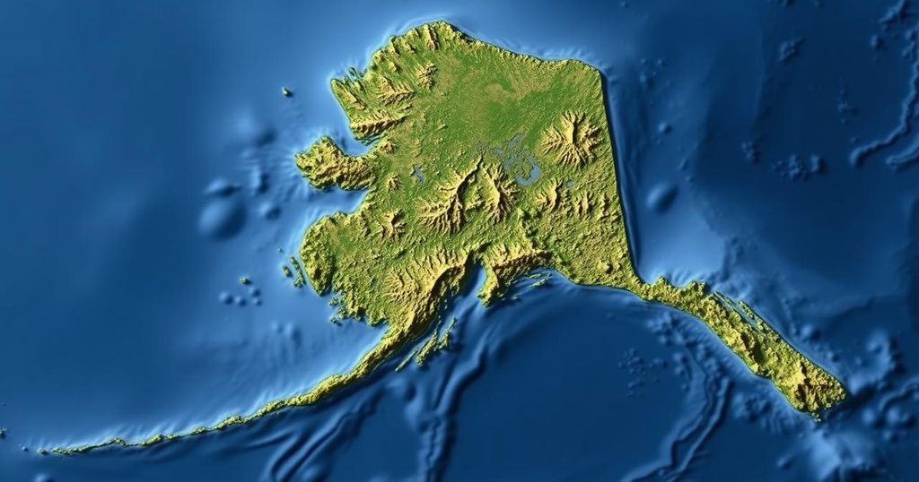
On October 16, 2024, an earthquake with a magnitude of 1.5 was recorded at 45 miles northwest of Tatitlek, Alaska, precisely at 05:05:39 AKDT (13:05:39 UTC). The seismic event, occurring at a depth of 0.0 miles (0 km), has not undergone review by a seismologist. The earthquake’s location is approximately 45 miles (72 km) west of Valdez and 76 miles (123 km) east of Anchorage, among other notable proximities to various Alaskan towns. The tectonic setting of Southern Alaska is complex and is marked by several distinct geophysical features that contribute to seismic activity in the region. The strongest earthquakes are often associated with the megathrust fault at the convergence zone of the subducting Pacific Plate and the overriding North American Plate. For instance, the Great Alaska Earthquake of 1964, which recorded a magnitude of 9.2, traces its origins to this fault under Prince William Sound. Intermediate-depth seismicity, which occurs below 20 miles (32 km), is linked to the Wadati-Benioff Zone, where the Pacific Plate descends. The notable intermediate-depth earthquakes in recent history include the 2016 M7.1 Iniskin and the 2018 M7.1 Anchorage earthquakes that caused considerable shaking and damage in the Southcentral region of Alaska. Furthermore, crustal seismicity in Southern Alaska can be attributed to three main sources: the gravitational effects of the faults and folds in the Cook Inlet basin, the Castle Mountain Fault, and a diffuse seismic band spanning from northern Cook Inlet to the Denali Fault. Significant historical seismic events, such as the April 1933 M6.9 earthquake, illustrate the potential for damaging earthquakes from these structures. In summary, the recorded seismic activity near Tatitlek is a reminder of the ongoing tectonic processes that define the seismic landscape of Southern Alaska and the potential for impactful earthquakes. Understanding the intricate tectonic setup of this region is critical for ongoing monitoring and preparedness efforts.
The tectonic environment of Southern Alaska is characterized by its position at the boundary between the Pacific and North American tectonic plates, which lies along the megathrust fault. This fault is responsible for significant seismic activity, including some of the largest earthquakes recorded in history. The geological complexities further include intermediate-depth seismicity associated with the subducting Pacific Plate and crustal seismicity from various local faults. There are notable historical earthquakes that provide insight into the seismic risks faced by communities in the region.
The earthquake near Tatitlek, Alaska, underscores the active seismic nature of Southern Alaska, primarily due to its complex tectonic interactions. The factors contributing to seismic events include megathrust faults, intermediate-depth seismicity, and local faults. These geological attributes necessitate continuous monitoring and preparedness to mitigate risks associated with potential future seismic activities.
Original Source: earthquake.alaska.edu