An earthquake of magnitude 1.7 struck southwest of Glennallen, Alaska, on November 26, 2024. This earthquake, at a depth of 12.4 miles, highlights the region’s seismic activity influenced by varying tectonic features. Southern Alaska has a history of significant earthquakes stemming from complex geological processes.
On November 26, 2024, at 12:37:40 AKST, an earthquake of magnitude 1.7 occurred approximately 45 miles southwest of Glennallen, Alaska. The seismic event, noted for its depth of 12.4 miles (20 kilometers), has yet to undergo scientific review. It is located 46 miles from Pump Station 11 and falls within a region characterized by varied tectonic activity, notably influenced by multiple geological features in Southern Alaska, which are pertinent to understanding local seismicity.
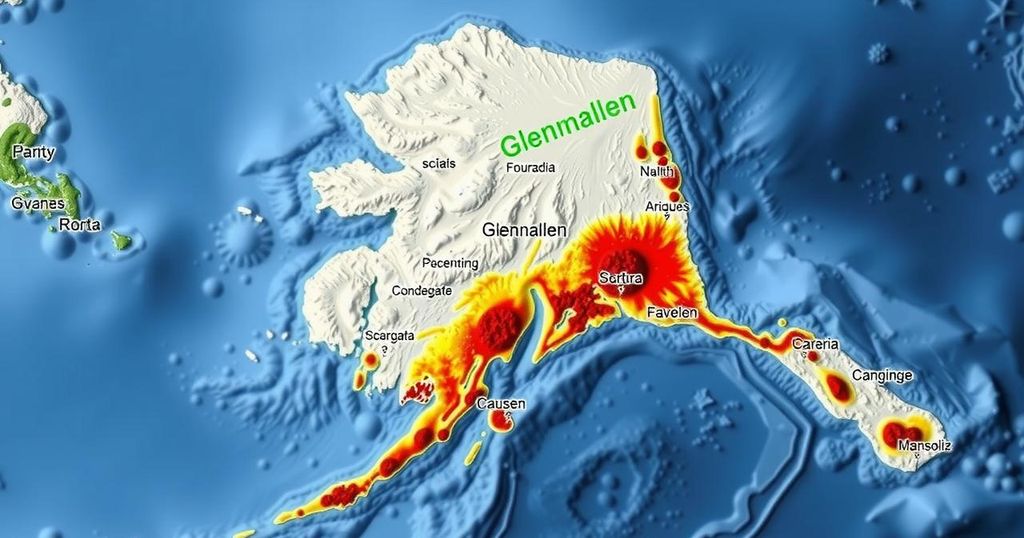
The seismic landscape of Southcentral Alaska is defined by a complex interplay of tectonic features. Major earthquakes in this region are commonly generated by the megathrust fault, situated between the subducting Pacific and overriding North American plates. Historical events such as the 1964 M9.2 Great Alaska Earthquake and significant intermediate-depth earthquakes, like the 2016 M7.1 Iniskin and 2018 M7.1 Anchorage quakes, highlight the frequent seismic activity in the area. Additionally, crustal seismicity emanates from geological structures in the Cook Inlet basin and faults like the Castle Mountain Fault, capable of producing strong earthquakes.
The recent earthquake near Glennallen, while minor in magnitude, underscores the ongoing seismic activity characteristic of Southern Alaska. With a history of significant seismic events resulting from both megathrust and intermediate-depth earthquakes, as well as crustal seismicity, this region remains a focal point for geological studies. Understanding these tectonic interactions is crucial for future preparedness and mitigation efforts in the face of inevitable seismic events.
Original Source: earthquake.alaska.edu