The National Hurricane Center is tracking three tropical systems, including one with a 70% formation chance. As the hurricane season approaches November, there is potential for tropical activity to extend into December. Significant rainfall is expected in various regions, posing risks for flooding. Current forecasts indicate 15 named storms have already occurred this season, highlighting the need for preparedness and vigilance in affected areas.
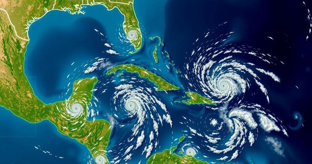
The National Hurricane Center (NHC) is currently tracking three tropical systems, including a significant system with a 70% chance of formation. This activity comes on the heels of AccuWeather’s forecasts that predict one to three additional named storms may develop this year. As November approaches, the final month of the Atlantic hurricane season, AccuWeather has cautioned that tropical developments may continue into December, marking a rare occurrence since December 2007 with the formation of Tropical Storm Olga. Alex DaSilva, Lead Hurricane Expert at AccuWeather, stated, “We have been saying it since the very beginning of the hurricane season… that the end of the hurricane season could get quite active [in November].” Currently, the NHC is observing a tropical depression in the southwestern Caribbean Sea, which is expected to potentially evolve into a tropical storm in the near future. On Friday morning, two additional systems were also under the NHC’s surveillance. The tropical depression is located over the southwestern Caribbean and is projected to move northward or northwestward, with a gradual development pathway anticipated as it approaches the central or western Caribbean Sea. This system has a high formation probability of 70% within the next seven days and a lesser chance of 30% over the ensuing 48 hours. However, it remains uncertain whether this will lead to any significant impact on Texas. The NHC is also monitoring a trough of low pressure near Puerto Rico, which is generating substantial rainfall and thunderstorms throughout the northeastern Caribbean and the Greater Antilles. This system may slowly develop over the next few days as it progresses west-northwestward. Despite slow development, there is a potential for heavy rainfall across several regions, including Puerto Rico and eastern Cuba, with formation chances remaining low at 10%. In another development, a non-tropical low-pressure area roughly 400 miles west of the Azores is producing limited shower activity, with potential for some subtropical development over the upcoming days, but similarly low formation chances of 10%. Regardless of these formations, AccuWeather noted that significant downpours may occur across much of the Caribbean, posing risks for mudslides and flash flooding. The current Atlantic hurricane season has been notably active, having already seen 15 named storms and 10 of these developing into hurricanes, including four major hurricanes classified at Category 3 or above. As we remain within the June 1 to November 30 hurricane season, it is vital for residents and authorities to stay informed about potential storm threats.
The Atlantic hurricane season typically runs from June 1 to November 30, during which time meteorologists monitor the development, intensification, and path of tropical systems. Given the cyclical nature of weather patterns and climate conditions, forecasts can indicate periods of significant storm activity. This year, forecasters anticipated an especially active season with predictions of numerous named storms, many of which have materialized. The ongoing monitoring by the National Hurricane Center is crucial for early warnings and preparedness, particularly as conditions continue to evolve.
In summary, the National Hurricane Center is closely observing three tropical systems, one of which has a notable formation probability of 70%. As the current hurricane season nears its close, there is potential for continued tropical activity, possibly extending into December. Preparations and awareness are essential for those in affected regions, particularly in Texas, where uncertainty still exists regarding the storm paths. Continued vigilance and monitoring of these systems will be necessary as the situation develops.
Original Source: www.statesman.com