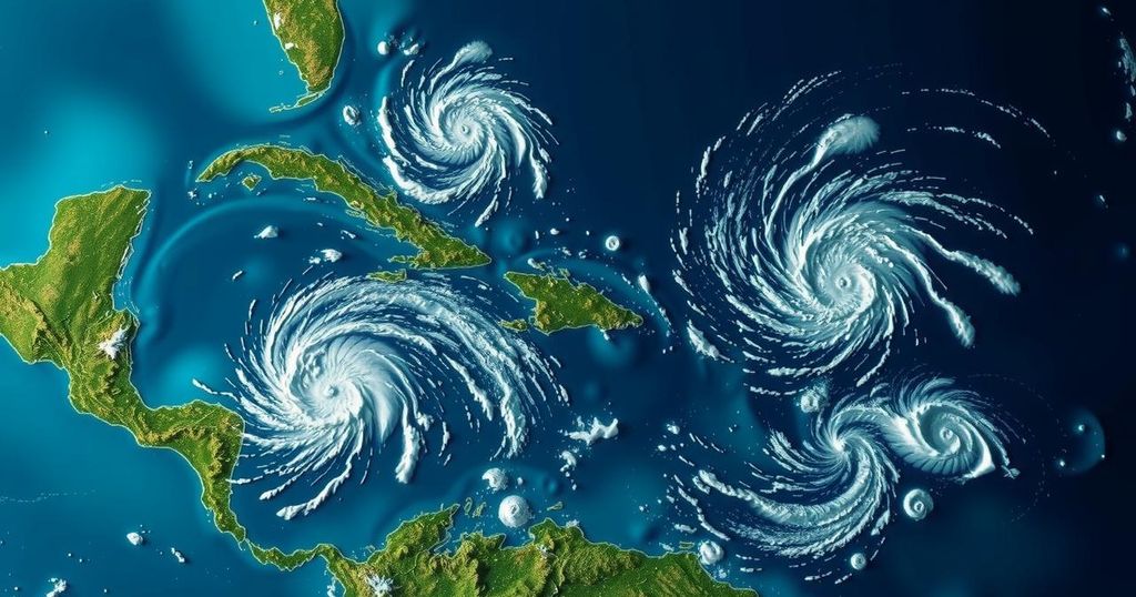
The National Hurricane Center is monitoring two tropical disturbances: Invest 94L, which poses a minimal threat of development, and Invest 95L, which may soon become Tropical Storm Nadine. Investigations indicate that while Invest 94L will bring rain and wind to the northern Caribbean, Invest 95L has a better chance of developing before impacting Central America.
The National Hurricane Center (NHC) is focusing on two tropical disturbances in the Caribbean Sea: Invest 94L and Invest 95L. Currently, Invest 94L, which is located north of Puerto Rico and the Virgin Islands, has seen its chances of developing into a tropical depression decreased from previous forecasts to just 10%. This disturbance is anticipated to continue its movement north-northwest at approximately 20 mph and is expected to impact Hispaniola and the southeastern Bahamas this weekend, bringing heavy rainfall and gusty winds to the northern Caribbean Islands. However, strong upper-level winds are likely to inhibit any further intensification. In contrast, Invest 95L, situated to the north of eastern Honduras, has shown signs of improvement and now has a 50% chance of forming into Tropical Storm Nadine. As it progresses through favorable environmental conditions, some form of tropical cyclone is likely to develop before making landfall in Central America, particularly in Belize and the Yucatan Peninsula. Regardless of its development, heavy rains are expected across Central America and southern Mexico. Despite the potential impacts in the Caribbean, there is no immediate threat to Florida from Invest 94L. The region is currently experiencing strong winds from the northwest, which are serving to push water away from the coast and create rough surf conditions. These persistent winds, however, may lead to coastal flooding and beach erosion along Florida’s Atlantic coastline.
As the hurricane season progresses, the National Hurricane Center is diligently monitoring potential tropical weather systems in the Caribbean. The two disturbances of interest, dubbed Invest 94L and Invest 95L, are closely watched for their capacity to generate tropical storms and potentially hurricanes. Invest 94L, which has been downgraded in its likelihood of formation, continues to affect the northern Caribbean with rain and winds while Invest 95L is gaining more favorable conditions for development into Tropical Storm Nadine as it moves toward land. This situation is further complicated by the varying paths these systems may take and their potential impacts on regions such as Hispaniola, Cuba, and Florida.
In summary, Invest 94L and Invest 95L present differing prospects for development into tropical storm systems. While Invest 94L is unlikely to strengthen further and will primarily impact the northern Caribbean Islands with rain and wind, Invest 95L is on the cusp of potentially becoming Tropical Storm Nadine, with a greater chance of development as it approaches the Central American coastline. The residents in these affected regions should remain vigilant as the situations evolve.
Original Source: www.pnj.com