Tropical Storm Milton, recently formed in the Gulf of Mexico, is predicted to impact Florida’s west coast next week, following the devastation from Hurricane Helene. The storm could intensify to a Category 2 hurricane upon landfall, with authorities warning of life-threatening storm surges and significant rainfall across the region.
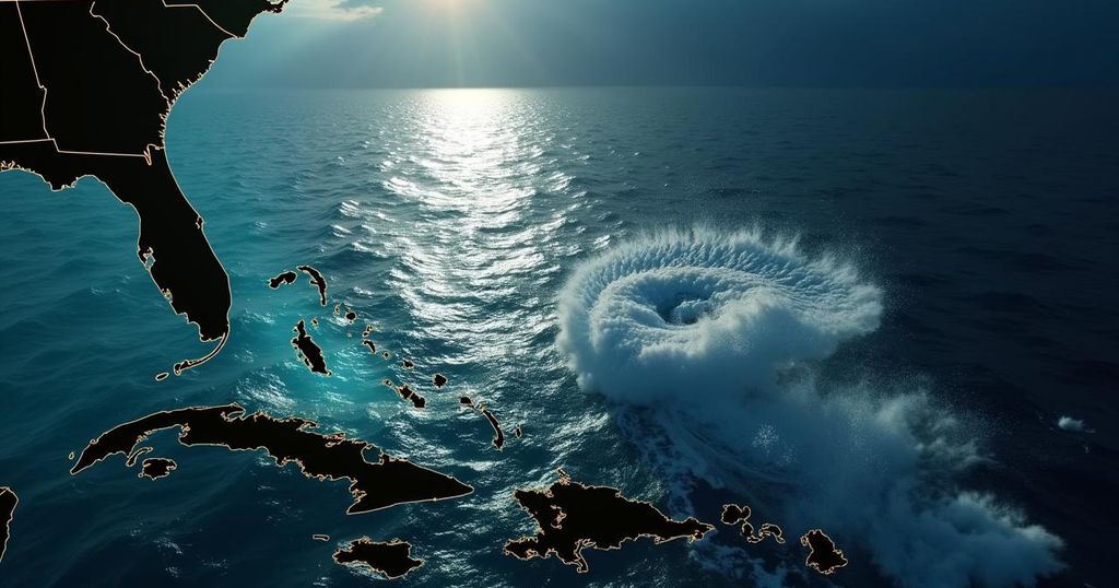
Tropical Storm Milton has formed in the Gulf of Mexico and is projected to significantly impact the west coast of Florida in the upcoming week. After rapidly intensifying from a tropical depression, Milton marks the 13th named storm of the Atlantic hurricane season, arriving ahead of the typical timeline, usually seen after October 25. According to the National Hurricane Center (NHC), Milton is likely to strengthen into a major hurricane by the time it approaches the Florida Peninsula midweek, with expectations of at least a Category 2 hurricane upon landfall. Hurricane watches and storm surge warnings are anticipated to be instituted for various segments of the Florida coastline as early as Sunday, following the severe consequences inflicted by Hurricane Helene which recently impacted the region. The potential for life-threatening storm surges is especially concerning for areas previously affected by Helene’s destructive aftermath. The NHC also warns that heavy rainfall is expected across parts of Mexico over the next couple of days, which will extend into Florida by late this weekend. As a follow-up to the devastation caused by Hurricane Helene, which left 200 fatalities across six states and widespread destruction from catastrophic flooding and wind damage, authorities are bracing for further challenges posed by Milton. Forecasts predict that between 4 to 6 inches of rainfall could accumulate across much of Florida, with localized areas possibly receiving up to 10 inches by Thursday. Notably, Tampa has already surpassed normal rainfall by more than 20 inches this year, while other cities such as Melbourne, Jacksonville, and Naples have received over a foot of excess rainfall thus far. In addition, the risk of storm surge along the western Florida Peninsula is increasing, expected to be particularly acute between late Tuesday and Wednesday, along with potential tornadoes and damaging winds. The NHC has urged residents in the Yucatan Peninsula, the Florida Peninsula, Florida Keys, and the Bahamas to remain vigilant and monitor Milton’s development closely as the situation evolves. Simultaneously, Hurricane Kirk continues to maintain its status as a Category 4 hurricane while generating sizable waves that affect multiple regions, including the Leeward Islands, Bermuda, and the Greater Antilles. Forecasts indicate that these swells may result in hazardous surf and rip current conditions along the East Coast, and residents in the Azores are advised to prepare for potential impacts next week.
The ongoing hurricane season has presented significant challenges, particularly following the recent impact of Hurricane Helene. The advent of Tropical Storm Milton has prompted the National Hurricane Center to issue warnings as forecasters predict it could escalate into a major hurricane threatening Florida’s west coast. Given the recent pattern of severe storms, the potential for another catastrophic event necessitates close monitoring of storm developments, particularly in light of the heavy rainfall and flooding previously witnessed.
In summary, Tropical Storm Milton is on track to significantly impact the west coast of Florida, with forecasts indicating potential for rapid intensification into a major hurricane. In the wake of Hurricane Helene’s devastating effects, authorities are on high alert as they prepare for imminent storm surge threats and substantial rainfall across the state. Residents are encouraged to stay informed and adhere to the guidance issued by meteorological agencies to ensure safety during this tumultuous period.
Original Source: 6abc.com